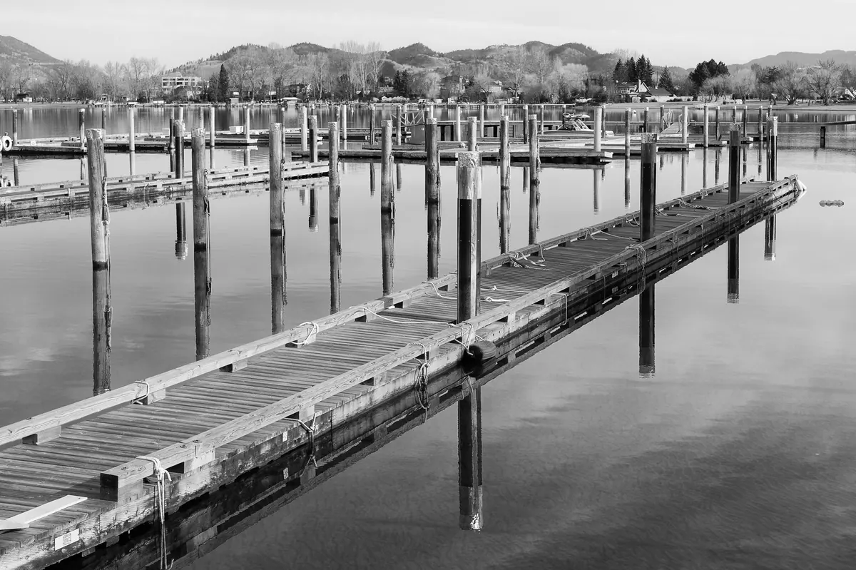
The water is there at breakfast and gone by mid-afternoon. A swing of several feet in a single day is ordinary on most coasts, and it quietly governs when you can leave the dock, where the fish are feeding, and whether that project on the pilings waits until next week. Ten minutes with a tide chart before you head out is the difference between a relaxed day and one spent aground, waiting.
What Makes the Water Rise and Fall
The moon does most of the work. Its gravity pulls on the ocean, and because the Earth is turning underneath that pull, most coastlines pass through two high waters and two low waters in a bit under 25 hours — the lunar day, about 50 minutes longer than the clock on your wall. That 50 minutes is why tomorrow's high tide arrives later than today's.
The sun adds a smaller pull of its own, and local geography does the rest. A wide continental shelf, a narrow bay, or a long inlet can reshape an otherwise even tide into something quite different. Some places get two highs of roughly equal height each day (semidiurnal). Others get two highs of very different sizes (mixed), and a few get a single high and single low in a 24-hour stretch (diurnal). Your chart is telling you which one you live with.
The Four Numbers on Every Tide Chart
A tide chart looks like a simple wave, but there is more information packed into it than most people read.
- Time and height of each high and low. These are the predictions, usually printed in local time. Check whether the chart is showing standard time or daylight saving — an hour of error here ruins everything downstream.
- The reference level, or datum. Heights are measured from a fixed low-water baseline, not from your dock or your keel. A "1.2 foot" tide means the surface is 1.2 feet above that baseline.
- Units. Feet in some countries, meters in others. A 2.0 reading is a very different day depending on which one you're reading.
- The range. Subtract the low from the high and you have the day's range. This one number tells you how much water you'll gain or lose, and it matters more than either height on its own.
One more thing the chart won't tell you: the predictions are for a specific station, usually a harbor or a pier. If your dock is five miles up a river or across a bay, your times and heights will differ. Ask a neighbor or a local harbormaster what the typical offset is and write it down.
Spring Tides, Neap Tides, and the Twice-Monthly Rhythm
Twice a month, around the new moon and again around the full moon, the sun and moon line up and their pulls combine. Ranges grow, lows drop lower, and highs climb higher. These are spring tides — nothing to do with the season. Between them, around the quarter moons, the two pulls work at cross purposes and the range shrinks. Those are neap tides, and they are the friendly ones for anyone worried about skinny water.
The pattern repeats on a roughly two-week cycle, so if you have a dock project, a haul-out, or a shallow channel to cross, it's worth looking two weeks ahead rather than two days. When a large spring tide happens to coincide with the moon's closest approach to Earth, ranges run bigger still; boaters in some regions plan around those dates months in advance.
Slack Water Is Not the Same as High Tide
Height and current are two different things, and confusing them causes a lot of bad afternoons. The tide chart tells you how deep the water is. It says nothing about how fast it's moving.
Flood is the incoming tide; ebb is the outgoing one. Slack water is the pause between them, when the current briefly stops before reversing. In open water that pause is short and falls close to high and low. In a narrow inlet, a river mouth, or a channel between jetties, the current keeps running hard well past the turn of the tide — sometimes an hour or more. If current is what you care about, look for a tidal current table for that specific passage rather than reading it off the height curve.
What the Chart Means for Boats, Fish, and Docks
Boating
Plan the shallow parts of your route around a rising tide when you can, and always check what the water will be doing when you come back, not just when you leave. Wind against tide stacks up a short, steep chop that can make a small inlet thoroughly unpleasant; wind with the tide flattens it. Sustained onshore wind and low pressure can also push water higher or lower than predicted, so treat any prediction as a good estimate rather than a promise and keep a margin under the keel.
Fishing
Moving water moves bait, and bait moves fish. Many anglers find the strongest bite in the hours of fastest flow — the middle of the flood or the middle of the ebb — and find slack periods slow. Inlets and passes fish well on the last push of the incoming and the first of the outgoing. On the flats, a high slack can be the only window to reach fish that scatter when the water drops.
Dock Access
A floating dock rides up and down with the tide; a fixed dock does not. If yours is fixed, note the lowest height at which your boat still floats clear and the highest at which you can still step aboard comfortably — that's your usable window each day. Boat lifts and shallow-draft skiffs buy you more of it. For anyone loading gear, hauling a trailer, or working on pilings, the low-water window is usually the safest time to be on the structure and the worst time to be moving a boat.
Estimating Heights Between the Marks
You rarely need the water level at exactly 10:43 a.m. You need it two hours from now. The rule of twelfths gets you close: over the six hours between low and high, the water rises roughly 1/12 of the range in the first hour, 2/12 in the second, 3/12 in the third, 3/12 in the fourth, 2/12 in the fifth, and 1/12 in the sixth. Water moves fastest in the middle of the cycle and crawls at the turns, which is why a rising tide seems to do nothing for an hour and then everything at once. Reverse the sequence for a falling tide.
A Tide Routine Worth Keeping
You don't need to memorize any of this. You need a habit.
- Know your reference station and its offset from your dock, written down where you'll find it.
- Each morning, note the day's highs, lows, and range on a small whiteboard by the door.
- Before any trip, check the low you'd be dealing with on the way home, not just the one at departure.
- Add your own margin — a foot in familiar water, more where you're guessing.
- Keep a short log of what the water actually did at your dock versus what was predicted.
After a season, that log becomes more useful than any published table, because it's tuned to your slip, your boat, and your local quirks. Tides are predictable, but they aren't uniform, and the people who get the most out of the water are usually the ones who have learned how their own stretch of it behaves.
Photo: Nothing Ahead / Pexels